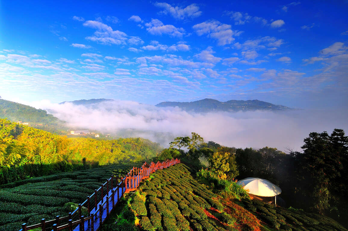
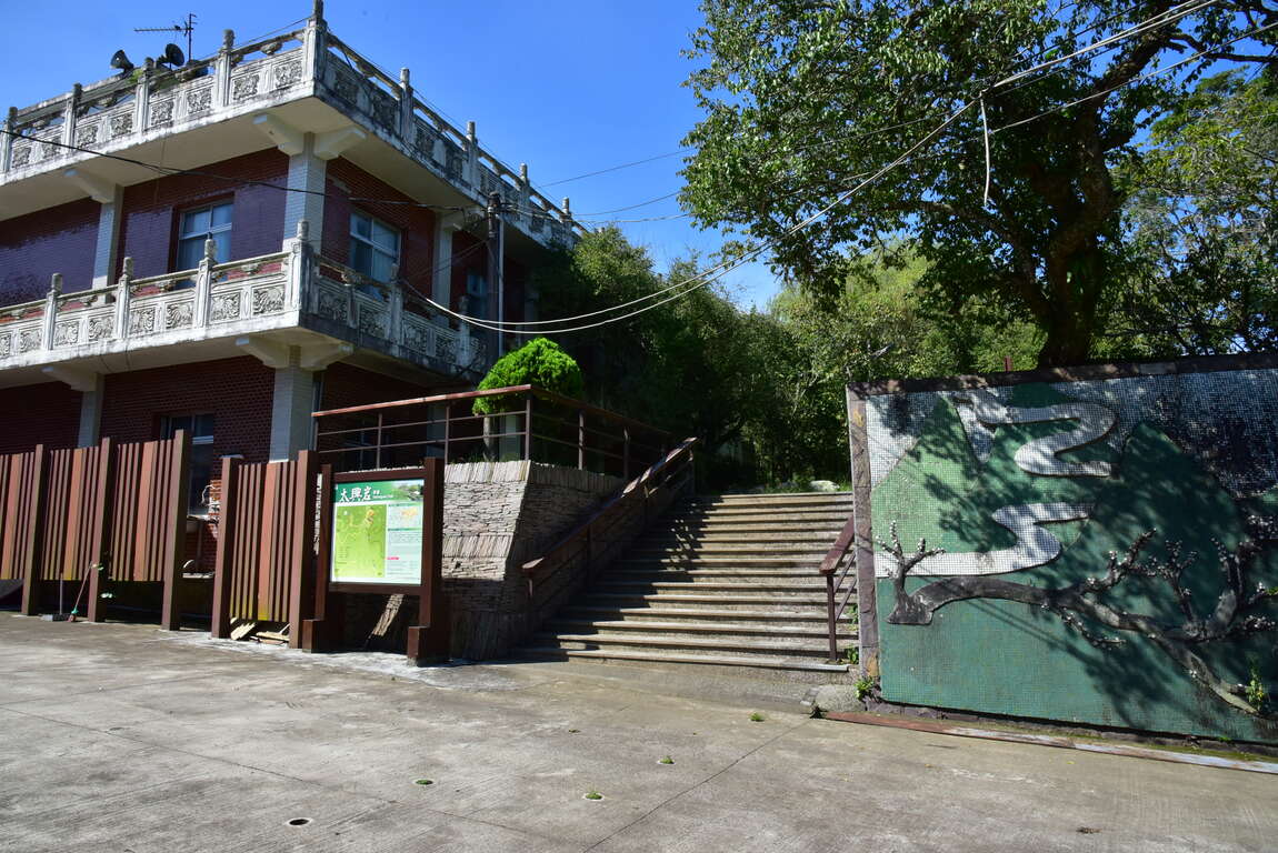
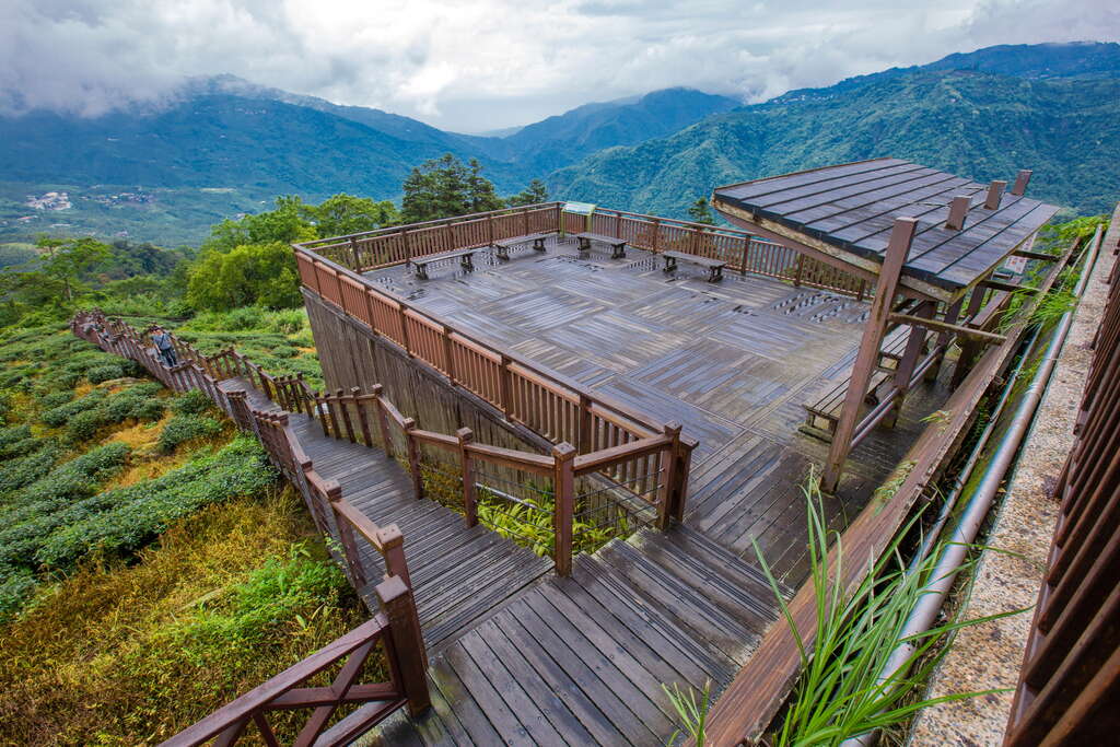
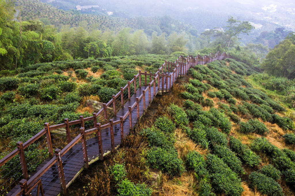
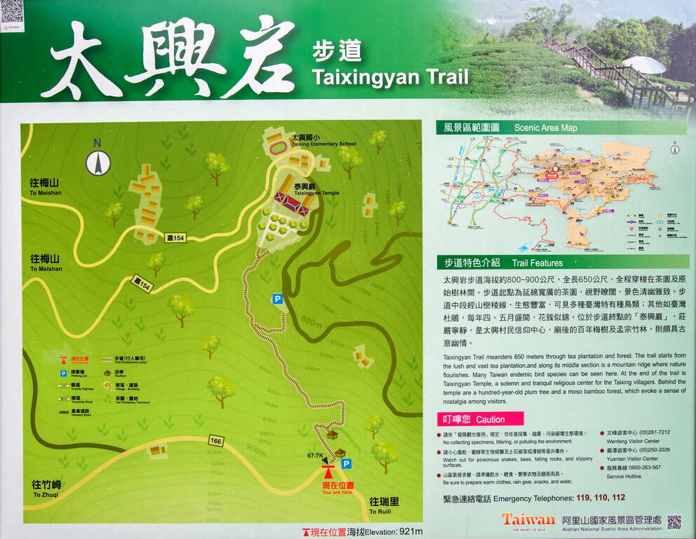
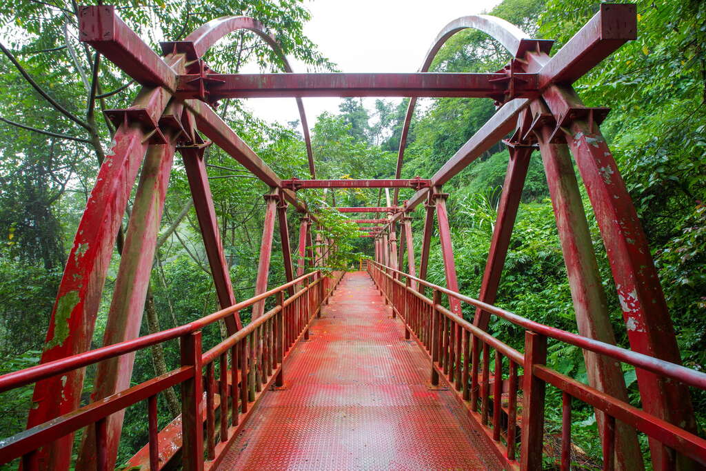
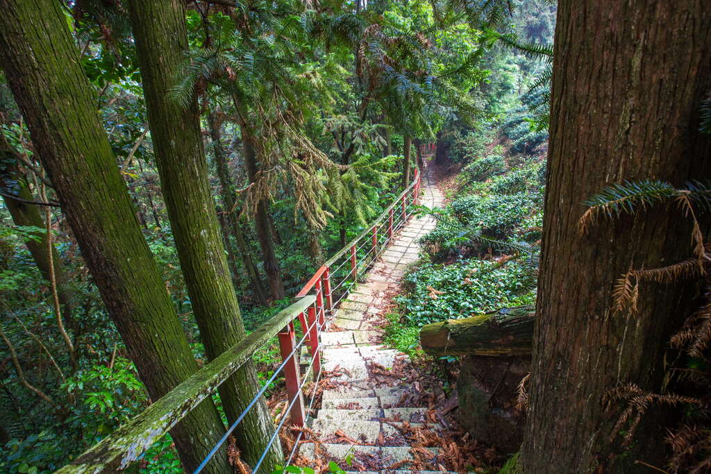
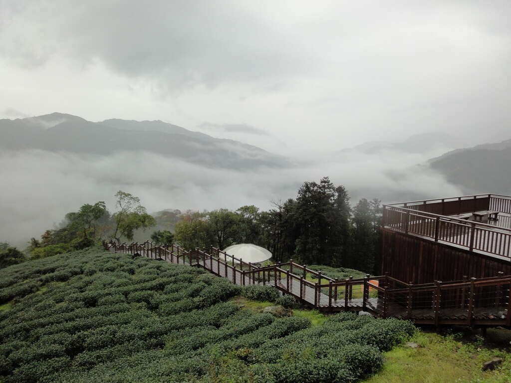
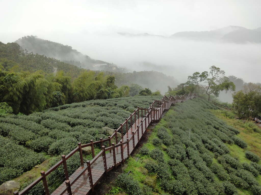
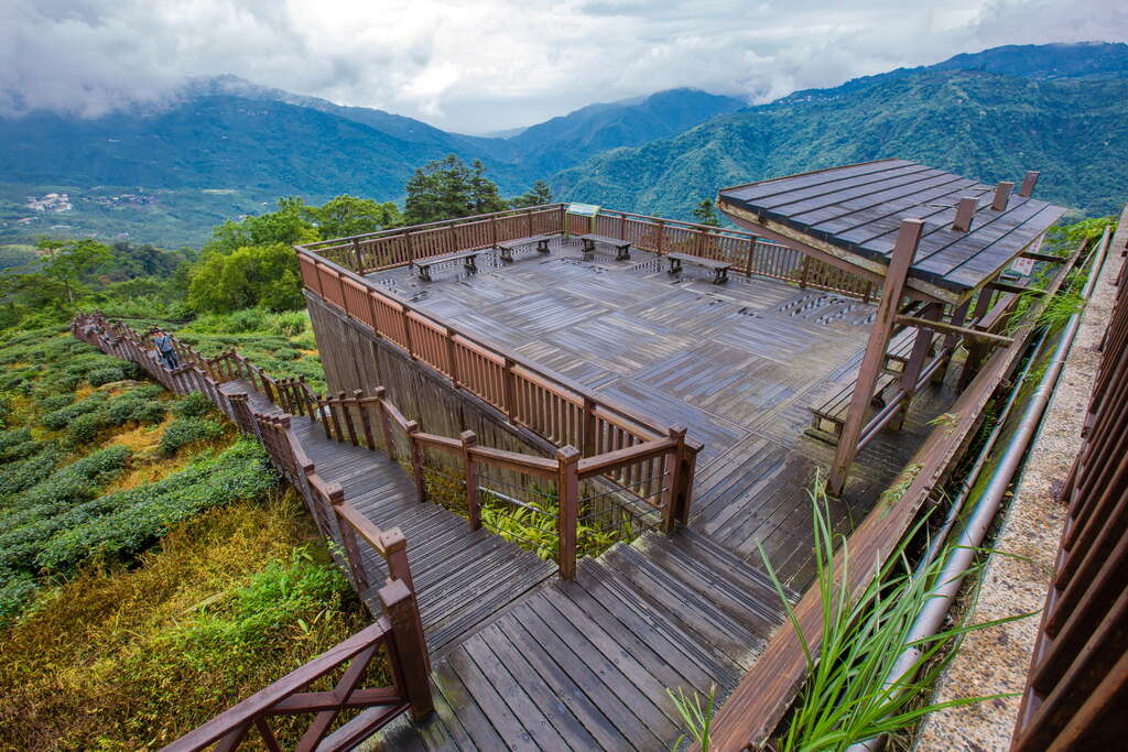
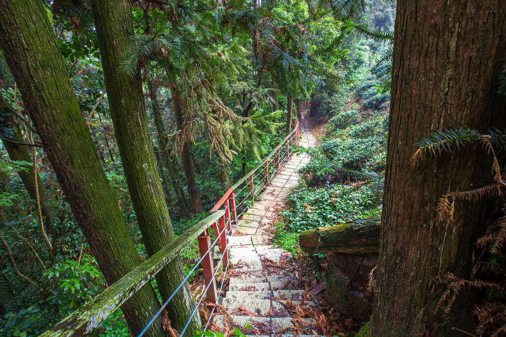
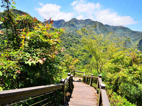
The south end of Taixingyan Trail is located on the 67.7 kilometer point of County Highway 166, and the north end of the trail is at the entrance next to Taixingyan Temple. There’s a parking lot on Industrial Road on the east side. You may want to take the physical challenge and endurance by starting your hike from Taixingyan and climb up at a steady pace. You may also start from the south end and descend slowly in easier, but cautious steps. If you start from the viewing platform in the south end, the broad views include Dajianshan, Taipingshan, Shizitoushan, the mountains on both sides of Cuzhiken River on the northeast side, Ruili mountain town and Kezilinshan on the east side. Look behind you in the south direction and you will also see Sihdatianwangshan behind Jiaoliping Railway Station. As you walk down the wooden trail with tea gardens on either side, you will come to a dome pavilion and two paths. The right fork leads to Liuxingyang Trail, under the jurisdiction of Meishan Township Office, while signage for the path on the left indicates that Taixingyan Trail is straight ahead. As the stone steps turn sharply downward, a bamboo and broadleaf tree forest unfolds. The Moso bamboo gives us delicious winter and spring bamboo shoots, and the tender bamboo shoots emerging from the ground are very cute.
Due to the thick fog in the afternoon and the humidity in this mountain region, there are no shortages in tall arbors like Indian-charcoal Trema, and other plants such as Giant Elephant’s Ear and bananas flourish here. It’s quite a brisk walk down the rough flagstone-paved step trail that follows the slope of the mountain. As you travel down to the mid section of the mountain, you will see Taiwan Yuhina, Taiwan barbet, and many other species of birds endemic to Taiwan perched on the tree branches. Notice the Makino bamboos scattered in the forest benting gently, showing their flexibility. There’s also a firmly rooted Chinese fir on the side of the slope that blocks your view directly in front - a trail that leads to the east side.
Continuing ahead on the north section are undulating hills and towering arbors. Walking on the wooden trail is like being in a high altitude forest adventure under a green canopy. Notice curly vines and aerial roots that are characteristic features of the rainforest. The stone steps that follow connect the trail to a quiet and solemn atmosphere – the back garden area of Taixingyan Temple. Visitors can once again relax and quiet their mind here. Even the hundred-year-old plum tree shows off its proud physique, making the memory of this trip profound and everlasting.
DATA Trail Length|0.65 km Walking Time / Estimated Time|About 60 minutes Difficulty Level|Level 2 (Advance level) Altitude / Elevation|About 850m
◼️Entrance/Exit-A County Highway 166 – 67.7 kilometer point, GPS: 23°32'10.9"N 120°38'07.0"E ◼️Entrance/Exit-B Next to Taixingyan Temple, GPS: 23°32'30.6"N 120°38'02.8"E ◼️Entrance/Exit-C, GPS: 23°32'22.9"N 120°38'03.7"E
Travel information
Opening Hours: Sunday:Open 24 hours a day Monday:Open 24 hours a day Tuesday:Open 24 hours a day Wednesday:Open 24 hours a day Thursday:Open 24 hours a day Friday:Open 24 hours a day Saturday:Open 24 hours a day